Property photo 1
Property photo 2
Property photo 3
Property photo 4
Property photo 5
0 Beds
0 Baths

$60,000

0 State Route 555, Cutler OH, 45724

Lot size6 Acres
Property typeLand

Overview

Active

Updated 10 days ago

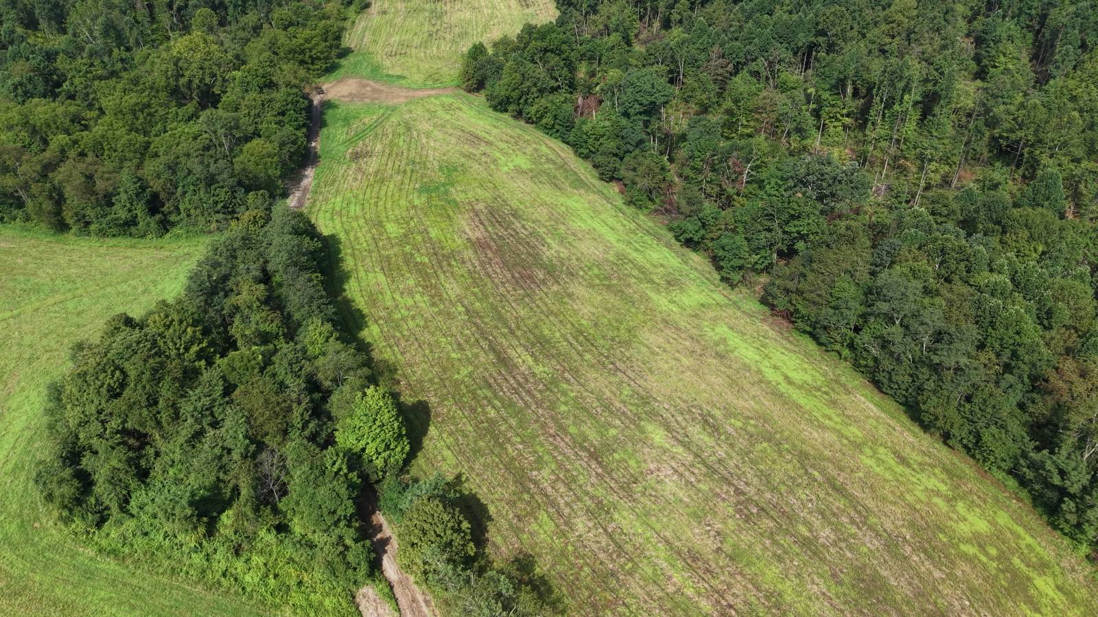
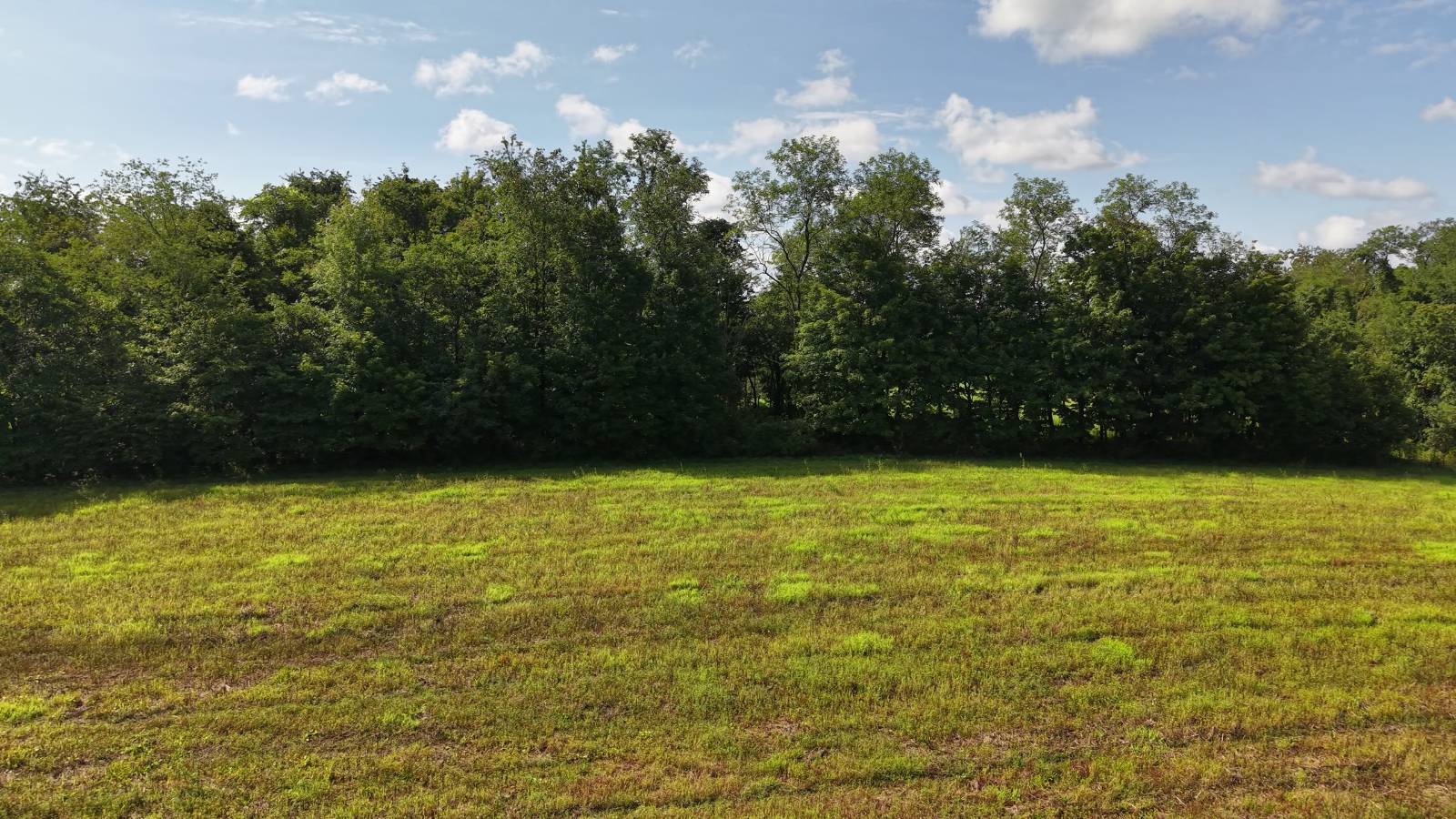
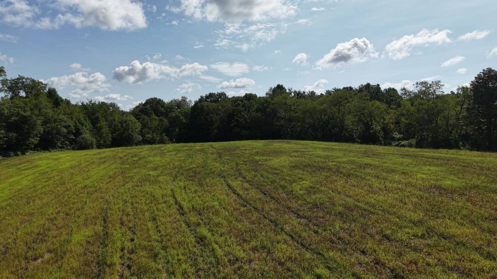
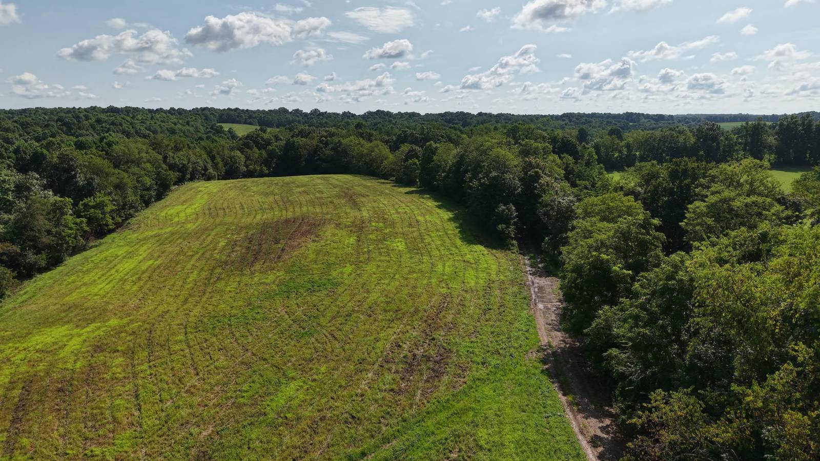
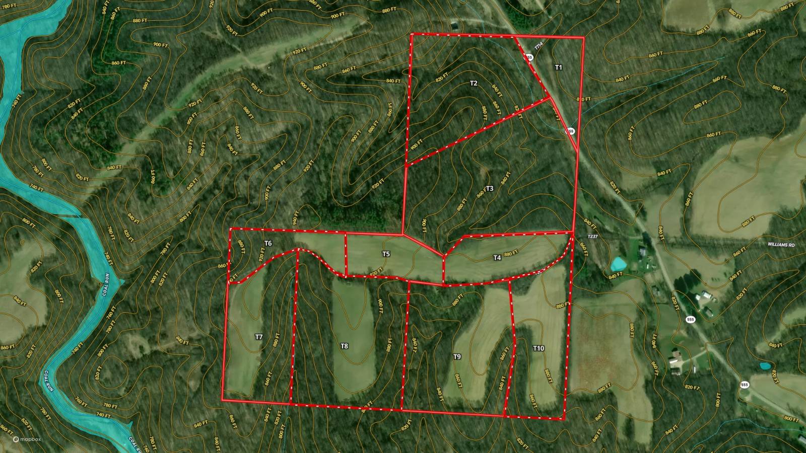
Tract 4 is six acres and it is the open one. Field, with a treeline running all the way around it. There is a hillside behind it for shelter and a trail already cut into it. Nothing on the FEMA flood maps touches this piece, which sits in Zone X, outside any special flood hazard area. This is the tract where you can see the house before anybody has drawn it. Ten tracts came off this hill in Fairfield Township, Washington County, Ohio, and three are already spoken for. The road out front is State Route 555, the Triple Nickel, sixty two miles of it running from the Ohio River at Little Hocking north to Zanesville. Riders have nicknamed the winding middle stretch Ohio's Tail of the Dragon. The ground is unglaciated Appalachian plateau. The glaciers never reached this corner of Ohio, so instead of flat till ground you get narrow ridges, steep sides, and hollows cut down into sandstone and shale. Oak and hickory hold the ridgetops and the south faces. Down in the cool north slopes it turns to sugar maple, poplar, black walnut and beech. Utilities: the property sits in Washington Electric Cooperative territory. No piped natural gas serves rural Fairfield Township, so propane is the norm. City water serves some tracts on this property and not others, and the seller has not specified which, so confirm availability for this tract before purchase. Hunting: Washington County checked 410 wild turkeys in the 2024 spring season, fifth highest of Ohio's eighty eight counties. The county sits inside Ohio's Disease Surveillance Area, which opens archery two weeks early on September 12. Ohio resident landowners may hunt their own ground without a hunting license, as may their children at any age and grandchildren under eighteen. Location: Warren Local School District, out of Vincent. About twenty two miles to Athens and roughly twenty five minutes to Parkersburg, with Marietta downriver where the Muskingum meets the Ohio. The nearest Wayne National Forest ground is about ten miles from this boundary. Annual taxes will be set once the split is recorded and a per tract parcel number is assigned. Showings are strictly by appointment and a licensed agent must be present. All information deemed reliable but not guaranteed.

Other Property Details

View
Yes

Courtesy of Buckeye Land Sales with ,
Listing Contact:  

Based on information from State Listings, Inc. IDX information is provided exclusively for consumers' personal, non-commercial use, it may not be used for any purpose other than to identify prospective properties consumers may be interested in purchasing. All information is deemed reliable but not guaranteed and should be independently reviewed and verified. Property locations as displayed on any map are best approximations only and exact locations should be independently verified. All properties are subject to prior sale, change or withdrawal, and may or may not be listed by the office/agent presenting the information. Neither listing broker(s) nor Julia Brooks shall be responsible for any typographical errors, misinformation, misprints and shall be held totally harmless. 

©2026 State Listings, Inc. All rights reserved.

Powered by Luxury Presence